The history of Plettenberg Bay.
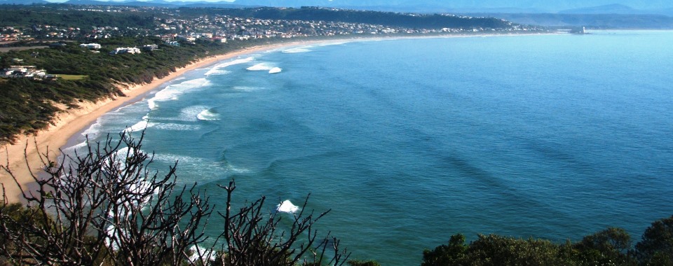
Plettenberg Bay or “Plett” as it´s known by locals is located on the Garden Route in the Western Cape province of South Africa. Plettenberg Bay’s shoreline is made up of sandy beaches and rocky shores. The bay extends from the 5km long Robberg Peninsula in the west to Natures Valley in the east. Some impressive sandy beaches can be found between these two points, namely Robberg Beach which runs from the peninsula to the Beacon Island hotel and the 15 km long Keurbooms beach which starts after the Keurbooms river mouth. Arch Rock and Groot Bank are landmarks in the area and are both found just off Keurbooms village. The oldest marine protected area (MPA) begins just east of Natures Valley and is overlooked by the impressive Tsitsikamma mountain range. Historically, humans have been living in Plettenberg Bay since 120 000 BC when Stone Age man lived in caves. Evidence of early man has been found in several caves within the borders of Plett e.g. the Matjies River Rock Shelter (close to Arch rock) and Nelson Bay Cave (on Robberg Peninsula). After this period, the Khoisan people lived in the caves and their cave drawings led to the naming of the Matjies River.
The first Europeans to explore Plettenberg Bay in the 15th and 16th centuries were the Portuguese. They called it “Bahia das Alagoas”, meaning “Bay of the Lagoons” in Portuguese. The highest peak in the Tsitsikamma mountain range was named “Pic Formosa”, meaning “Beautiful Peak”. Ninety years later (1576) it was named “Bahia Formosa” meaning “Beautiful Bay” in Portuguese.
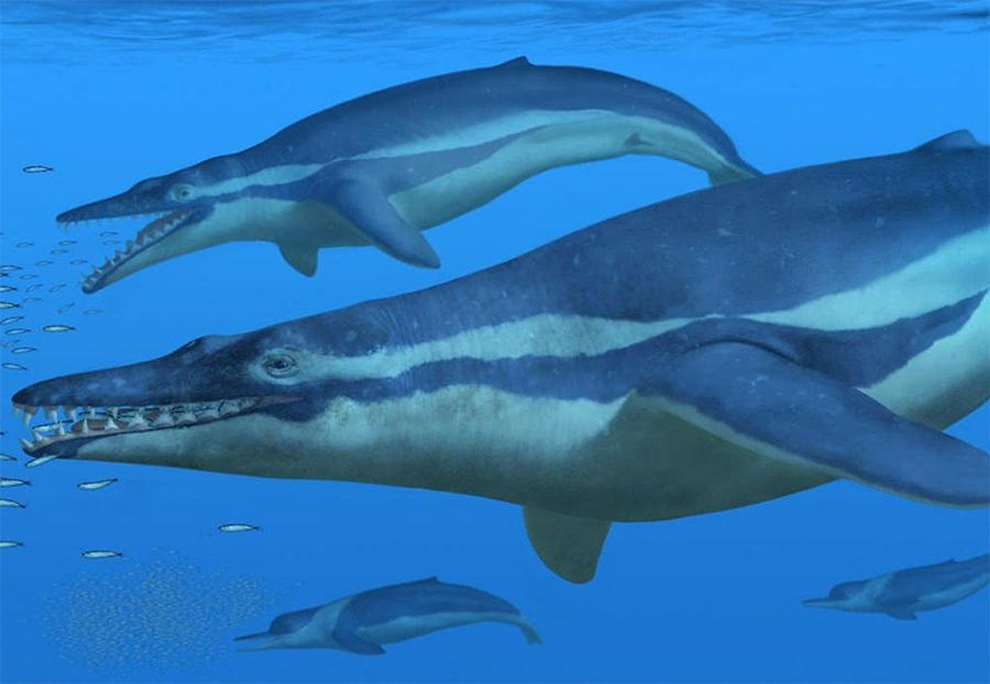
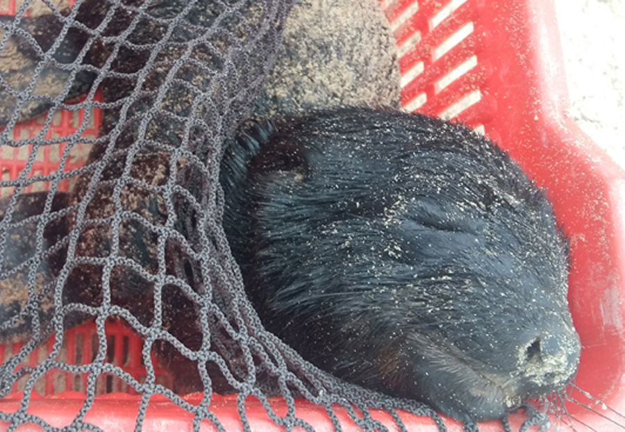
The first Europeans to inhabit Plettenberg Bay were 100 sea-men who became stranded here in 1630 on their way from India to Portugal. They lived in Piesang Valley for 8 months, befriending the resident Khoisan people and building Plettenberg Bay’s first church. In the 18th century the Dutch took over the trading with the east. They established refreshment stations in Cape Town, started to explore the southern Cape and in 1763 they exported food from Plettenberg Bay. The first wooden navigational beacon was established on Beacon Island in 1771. It was replaced by a stone beacon in 1881 and can still be seen in the garden of the Beacon Isle hotel. At the end of the 18th century the first Dutch people settled in the Plettenberg Bay area, and in 1778 the Governor of the Cape of Good Hope, Baron Joachim Van Plettenberg visited the Bay and named it after himself. It was around the same time that Robberg (which means mountain of seals) was named because of the large colony of Cape fur seals that resided on the peninsula. In 1910 the first whaling station was set up on Beacon Island and in 1960 Plettenberg Bay became a holiday town for South Africans.
Reference
http://www.plettenberg-bay.co.za/plett-history.html
http://www.pletthistory.org