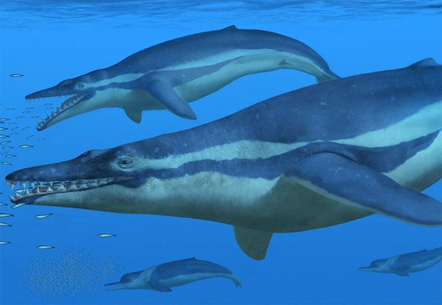
History of the Robberg Peninsula.
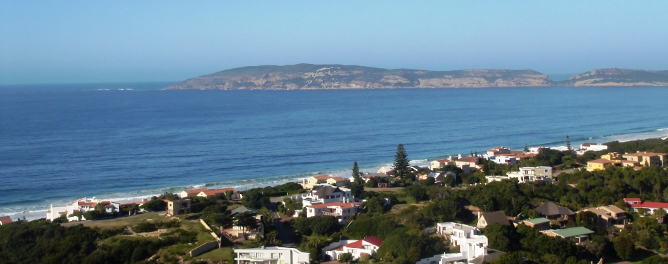
The Robberg Peninsula is situated on the western side of Plettenberg Bay. In the 15th century Robberg was first named “Cabo talhado” (Sharp Cape) by the Portuguese and in around 1750 it was named Robberg (Seal Mountain) by the Dutch. Robberg has a unique rock formation where some of the oldest and youngest rocks in the world can be found in close proximity to each other. Robberg consists of 3 distinct layers known as the Robberg formation, where the bottom layer is about 250 million years old and consists mainly of Table Mountain quartzite. The middle layer is comprised of river stone conglomerate, suggesting that Robberg was once a river bed. The top layer is approximately 45000 years old and consists of sandstone.
Robberg is not only a unique geological site, but is also archaeological very interesting, with caves along the Peninsula that were inhibited for more than 19 thousand years. Approximately 20 caves can be found along the Peninsula and in the Nelson Bay cave archaeologist have a display showing the different diets of Stone Age Man. Their diet varied depending on how far away the ocean was located. At some stages throughout history the ocean was 100km down from the current high water mark which changed the diet to land mammals instead of fish and sea food. The first recorded excavation of the caves was in 1880, but before that, local farmers collected cave guano (bird droppings) for fertilizer and the skeletons they found were sold as “bushman’s” skeletons to collectors in Europe. Various skeletons have been found in all the caves along the Peninsula, the most famous one a 12 year old girl that died around 200 years B.C.
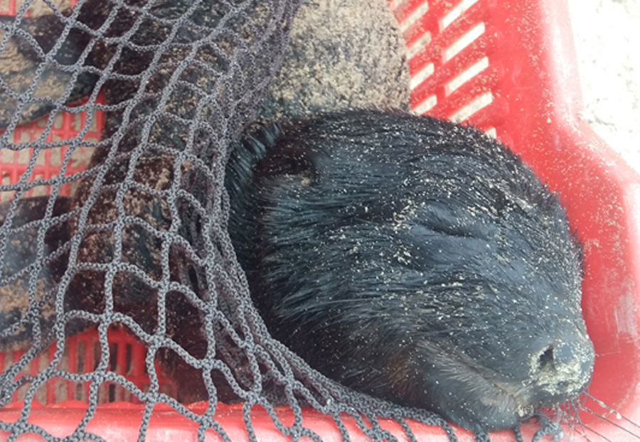
Robberg is 174 ha in size and has been a nature reserve since 1980. It was declared a national monument in 1999. Robberg is also a Marine Protected Area (since 2000) with a 12.9km protected coast line and 2 270 ha ocean area that stretches 1.8km out from the Peninsula. Robberg is an important conservation area due to it’s rich bird life, marine mammal life and important nursery area for fishes e.g. red romans (Chrysoblephus laticeps).
The Cape Seal lighthouse is located on Robberg. It is currently the highest navigational lighthouse along South Africa’s coastline (146m above sea level). The first lighthouse on Robberg was built in 1949-1950 and was kept lit by gas and then later solar panels. The new lighthouse was constructed in 2013-2014 in the same location as the old one only 10m higher giving it a wider light range.
Near the corner of the Robberg Peninsula and Robberg beach lies the wreck of the Athena. She was a Greek fishing trawler that sank in 1967 after hitting whale rock (located at the point of Robberg). The trawler was on it’s homeward passage to Greece and had to round the tip of Africa because of the war that had closed the Suez Canal. When she sank a cargo of 200 tons of tuna was lost but fortunately the crew were able to get safely to land because she sank so close to the beach. The wreckage can be seen at low tide and in clear waters from the top of Robberg. The bow lies approximately three meters under the surface and her stern six meters under water. This wreck has become a popular surfing location, and acts like an artificial reef providing a nursery area for juvenile fish.
References
– Rudner J. and Rudner I. 2973 A Note on Early Excavations at Robberg. The South African Archaeological Bulletin, V. 28 No. 111/112 pp. 94-96
– www.capenature.co.za/reserves/robberg-nature-reserve/